Blog > Why Your Next Property Development Decision Shouldn't Rely on a Hunch
David Herse | February 19, 2026
Why Your Next Property Development Decision Shouldn’t Rely on a Hunch
If you’re a retail leasing agent, a property developer, or an urban planner, I want you to picture a scenario. It’s probably a scenario you’ve lived through.
You are sitting at the front window of a cafe in a high-potential precinct. You have a coffee in one hand and a notepad (or maybe a clicker) in the other. You spend an hour counting heads, trying to “get a feel” for the vibe. You combine that hour of observation with Census data (that is likely three to five years old), and you pitch a multimillion-dollar site selection based on what is essentially a hunch.
It sounds absurd when written down, doesn’t it? But this is the industry standard for most of us.
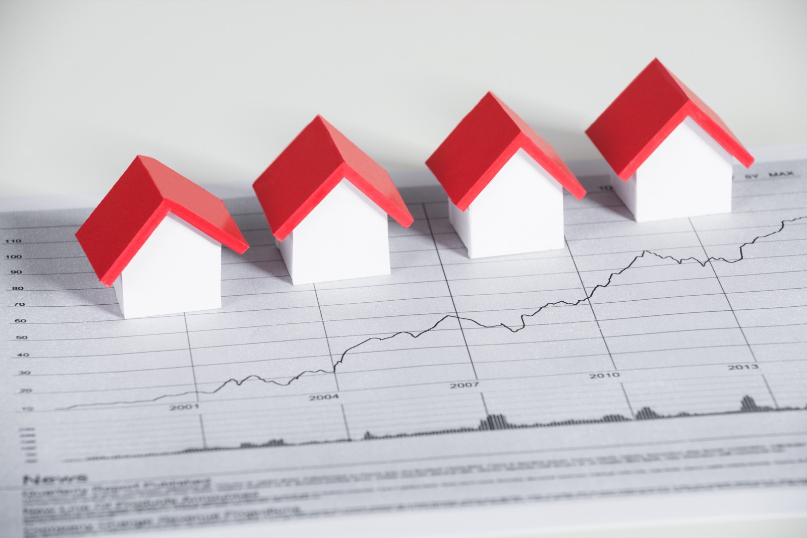
We look back at old music or fashion trends and wonder, “What were we thinking?” In five years, the property sector will look back at the “cafe counting method” with the same bewilderment. The margin for error in retail site selection data has disappeared. Future business decisions cannot be based on sitting at a cafe – they need to be based on hard, dynamic, and real street-level data.
The Shift: Taking “Indoor” Intelligence Outdoors
The retail giants like the Westfields or the Stocklands have known this for years. Inside their environments, they utilise sophisticated Bluetooth counting beacons to understand exactly how people move, dwell, and shop. They don’t guess these things. They know them.
At Mapulus, we asked a simple question: Why does that intelligence stop at the automatic doors?
Why is the street, the artery of our cities, still a black box?
We’re bringing that granular, high-fidelity tracking technology into the urban environment. But we aren’t doing it by sticking static boxes on light poles. We’re doing it dynamically, actively, giving us incredible insights without being invasive or impacting privacy.
How It Works: Vehicle-Mounted Sensors & AI Analysis
We utilise vehicle-mounted sensors via our transport partners (such as taxis, rideshares, and fleet vehicles) to scan the city continuously. As these vehicles move through Sydney, and soon into Southeast Queensland and Victoria, they are “listening” to the Bluetooth Low Energy (BLE) signals emitted by devices in the vicinity.
But simply “hearing” a device isn’t enough. Is that signal a person walking to a train station, or is it a car driving past at 60km/h?
The AI Difference
Our AI contextualises the signal. It analyses the relative speed and signal strength duration.
Fast & Fleeting: If the signal moves at pace with the sensor or passes rapidly, the AI identifies it as a vehicle.
Slow & Consistent: If the signal has a slower pace and longer dwell time relative to our sensor, the AI classifies it as a pedestrian.
This allows us to conduct pedestrian flow analysis at a scale and density that static counters simply cannot achieve. Unlike mobile tower data, which is often “thin” and relies on broad triangulation, our data is hyper-local and dense.
Privacy: The Flow of the River, Not the Water Droplets
Think of it like a river. We track the flow of the river. How fast it moves, where the currents shift, and the volume of water passing a specific point. We do not track the individual water droplets.
We do not track individuals. Modern mobile devices rotate their Bluetooth IDs regularly specifically to prevent long-term tracking. We don’t fight this; we leverage it. We aren’t interested in knowing that John Smith walked from point A to point B. We are interested in the aggregate volume and movement.
We operate under a “privacy by design” framework that strictly adheres to the Australian Privacy Principles.
Derived Demographics: The “So What?”
Why does this matter to an investor or a planner? Because flow tells a story that static points cannot.
By analysing the movement patterns, we can generate derived demographics. For example, if we observe a significant flow of devices moving from an affluent suburb into a specific CBD precinct at 8:00 AM, we can infer the socioeconomic profile of that foot traffic.
We aren’t just telling you how many people are there; we are giving you data-backed insights into what demographics they fit, based on their origin and trajectory. This allows you to validate leasing prices, plan urban infrastructure, and de-risk developments with evidence, not optimism.
Don’t Be Left Behind
The market is moving faster than the Census ever could. The tools to understand our cities are evolving, and those who rely on the old methods will find themselves outmaneuvered by competitors armed with street-level intelligence.
Put the clicker down. Chat with Mapulus today to get the edge.