The Data Layer
Australian physical-world data
Mapulus aggregates, normalises, and makes queryable the data that describes how Australian places behave — across time, conditions, and events.
Self-service data access coming soon. Talk to Advisory to access now.
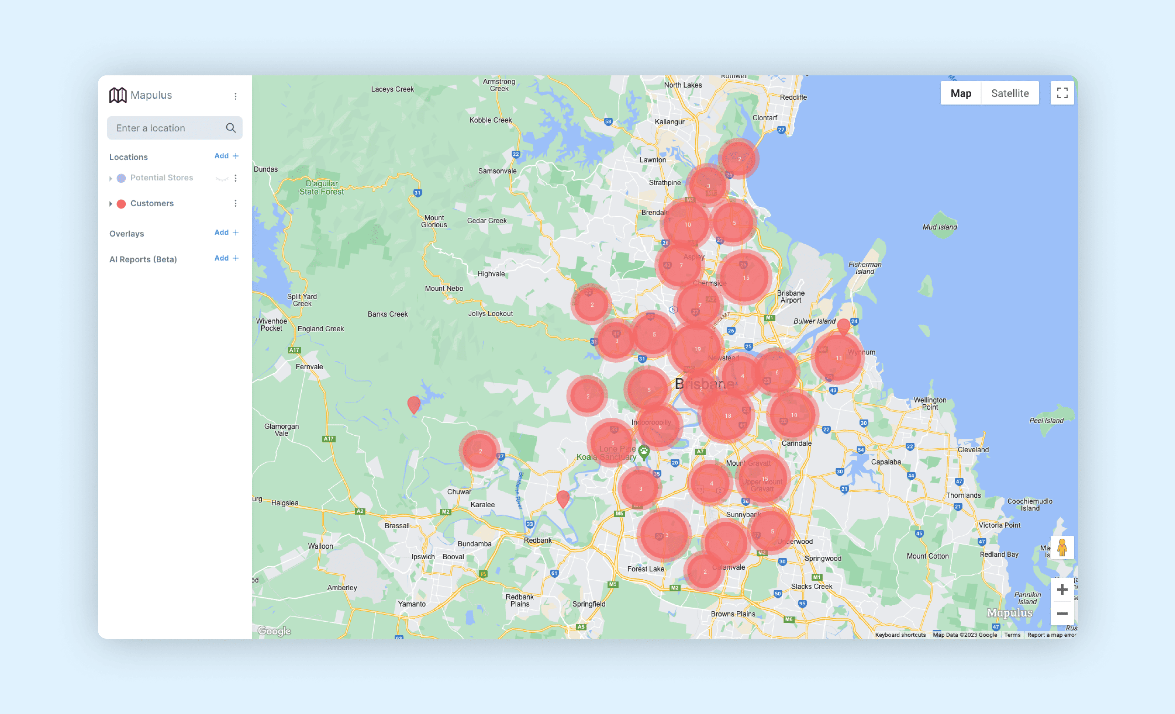
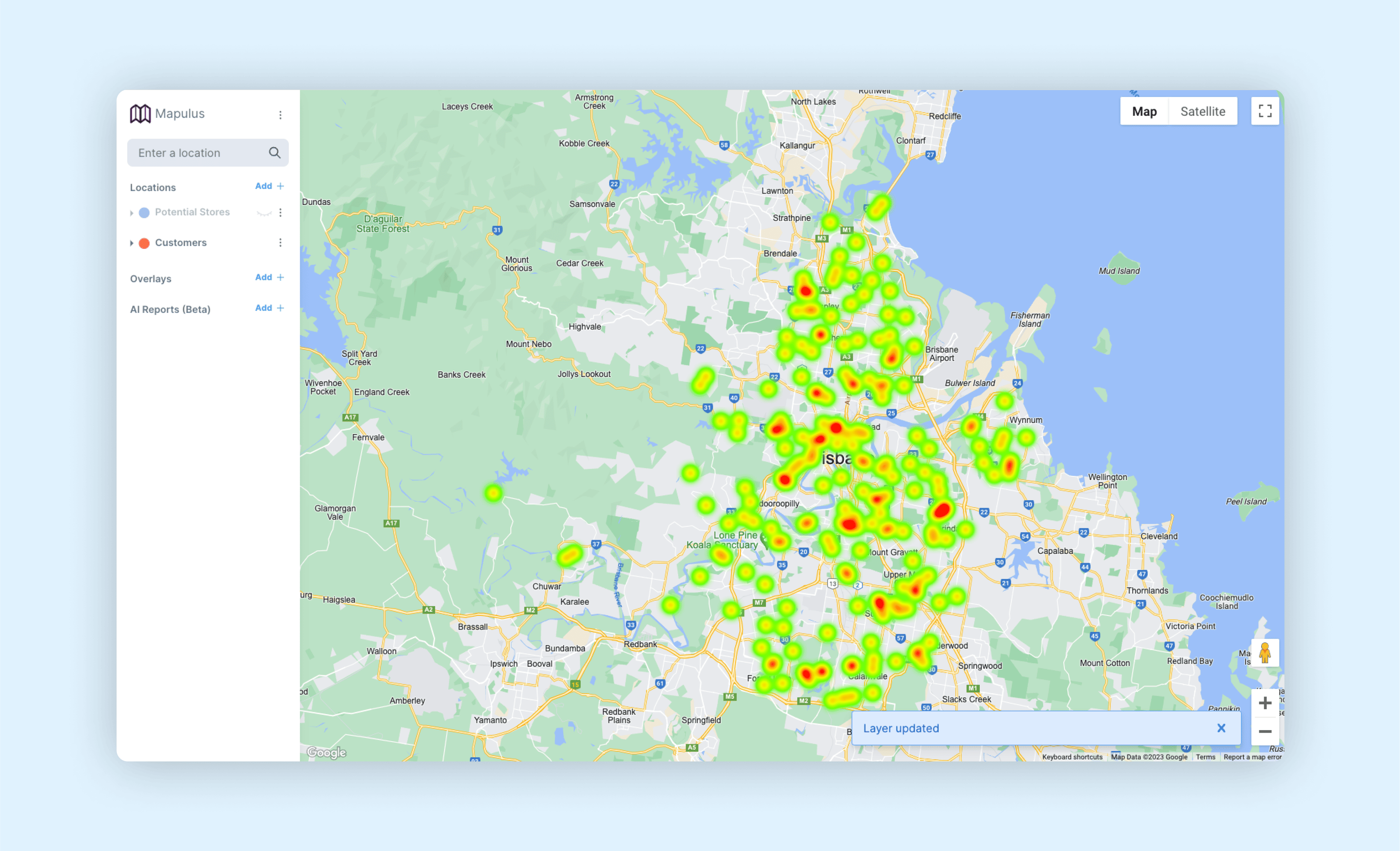
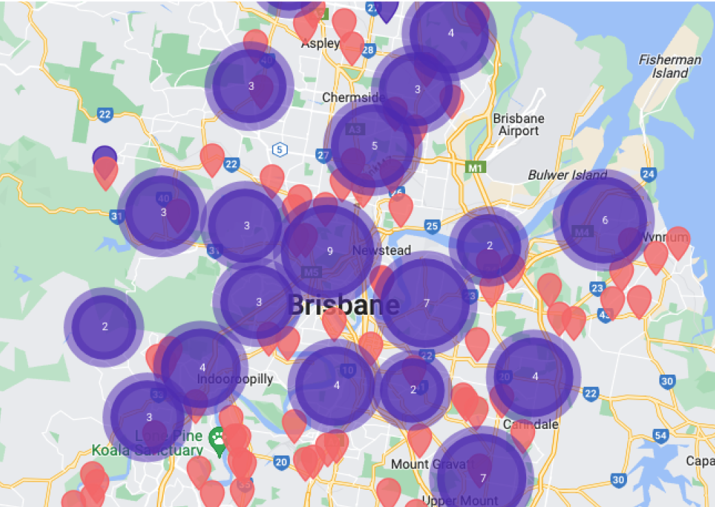
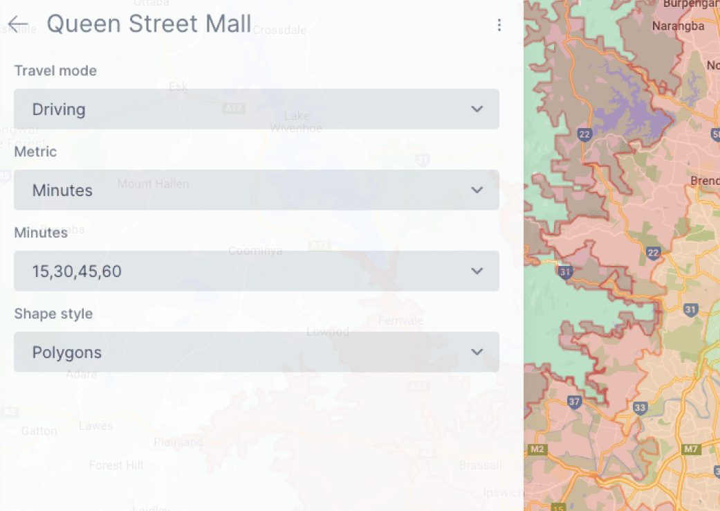
Movement Data
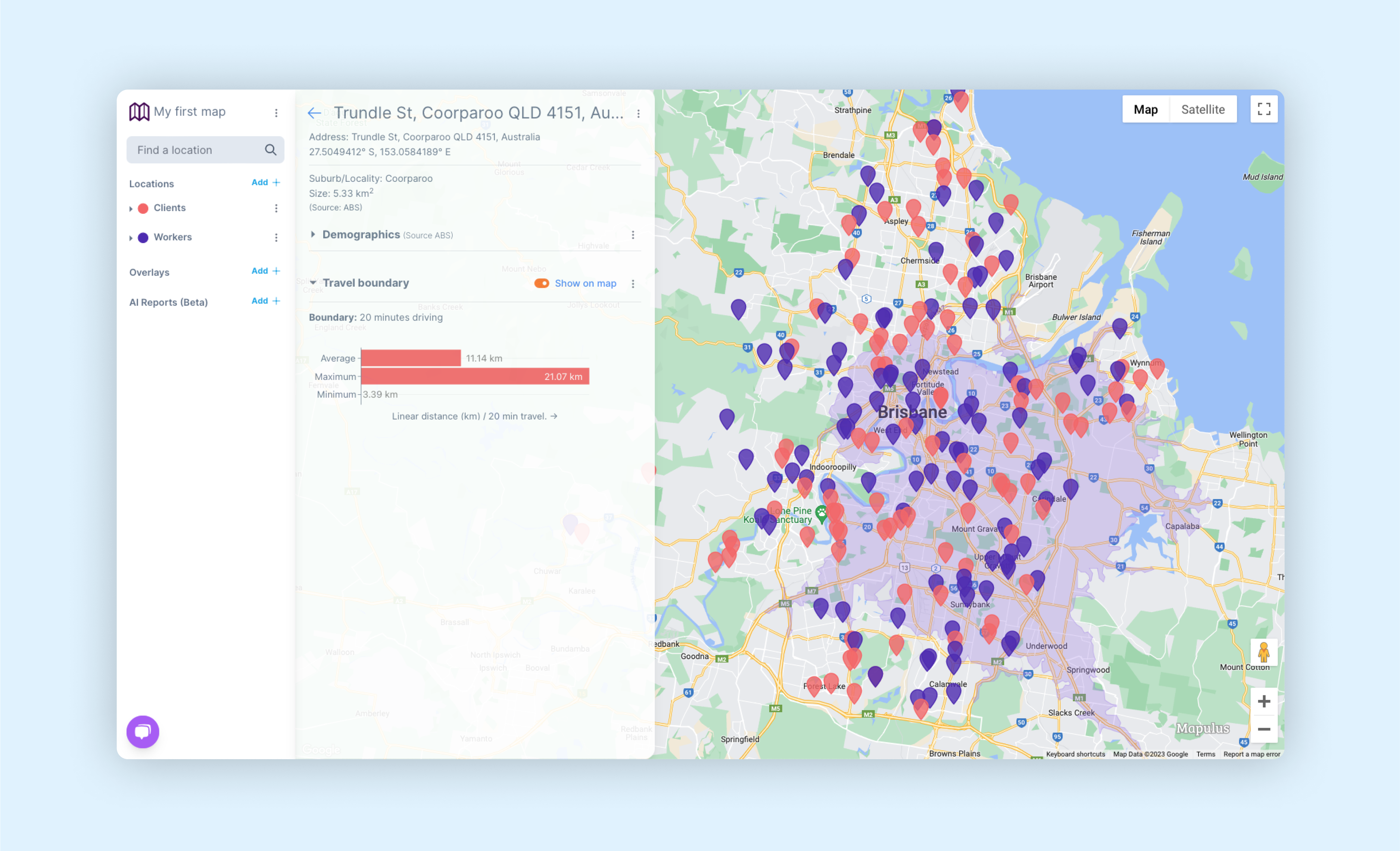
Baseline activity and movement patterns. Understand foot traffic, commuter flows, and activity density across locations.
Events Data
Event-driven demand shifts. Concerts, sports, festivals, public holidays — understand what's happening, when, and where.
Environmental Data
Weather and contextual signals. Temperature, rainfall, UV and other factors that materially affect behaviour.
Property Data
Real estate and development signals. Sales, listings, approvals, and market indicators tied to place.
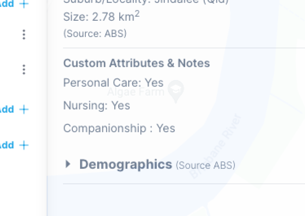
Demographics Data
Population and census-based context. Age, income, household composition, and socioeconomic indicators.
More coming
Our data catalog expands continuously based on real customer needs.